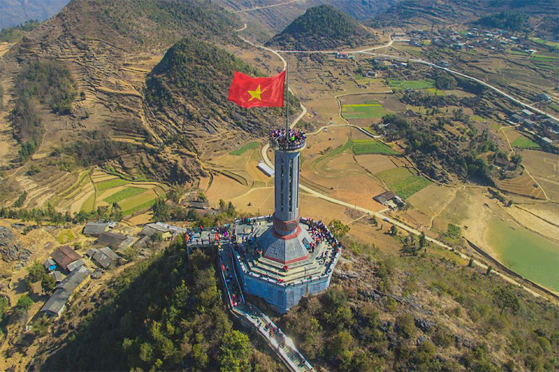
Close to the border with China, the sparsely populated Vietnamese province of Ha Giang felt to me like some kind of mythical last frontier.
As stunning landscapes continuously unfurled before me, the fantasy of being an explorer came close to perfect.
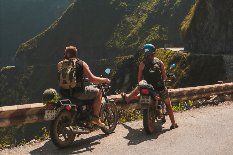
If you love off-the-beaten-track travel, then Ha Giang is a special treat. The best way to see Vietnam’s northernmost province is to drive by motorbike or scooter in a loop for 3 or more days.
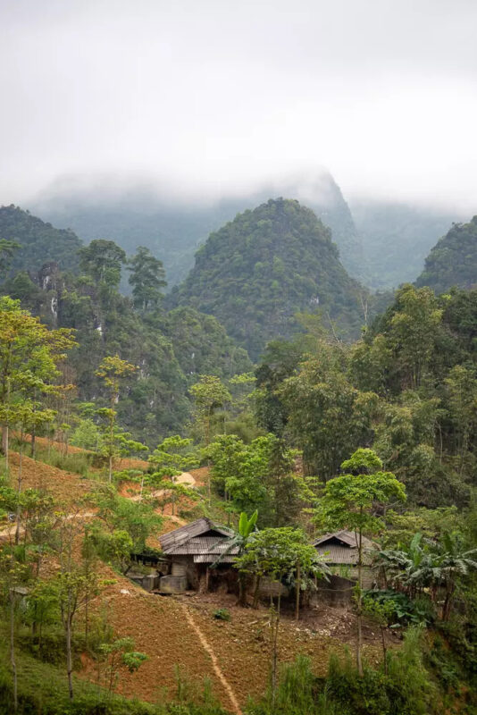
As the route takes you through the Dong Van Karst Plateau Geopark, you’ll pass by some unbelievable limestone landscapes and numerous local ethnic groups living in small towns surrounded by terraced rice fields.
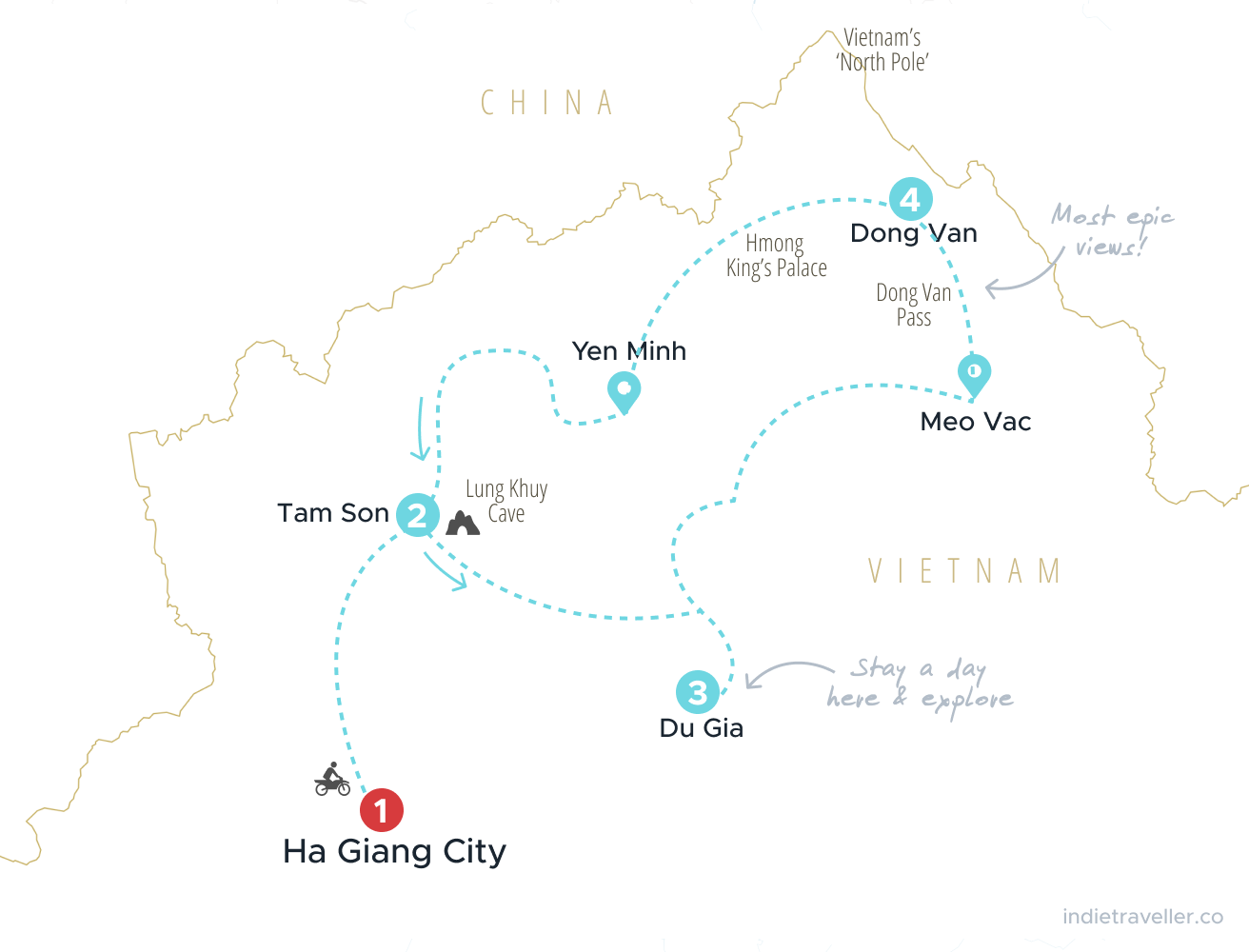
I drove for 5 days and in a counterclockwise way, which is a bit different from the normal Ha Giang itinerary. You can follow my trip using the map below (numbered locations are where I stayed overnight).
Setting off in Ha Giang city
I arrived in the provincial capital by night bus from Hanoi. You can view all bus connections from Hanoi and book your bus online via 12Go Asia.
I spoke to other travelers who had driven the whole way from Hanoi by motorbike, who said it was some of the dullest driving they’d ever done. I was happy to have skipped so many hours of tedious driving, starting off in Ha Giang City instead.
If you’re wondering how to rent motorbikes in Ha Giang City, it’ll be the least of your worries. Practically every guesthouse and hostel in Ha Giang City will rent motorbikes or scooters. The loop is the only reason anyone visits, so anything you need for the journey you can find there.
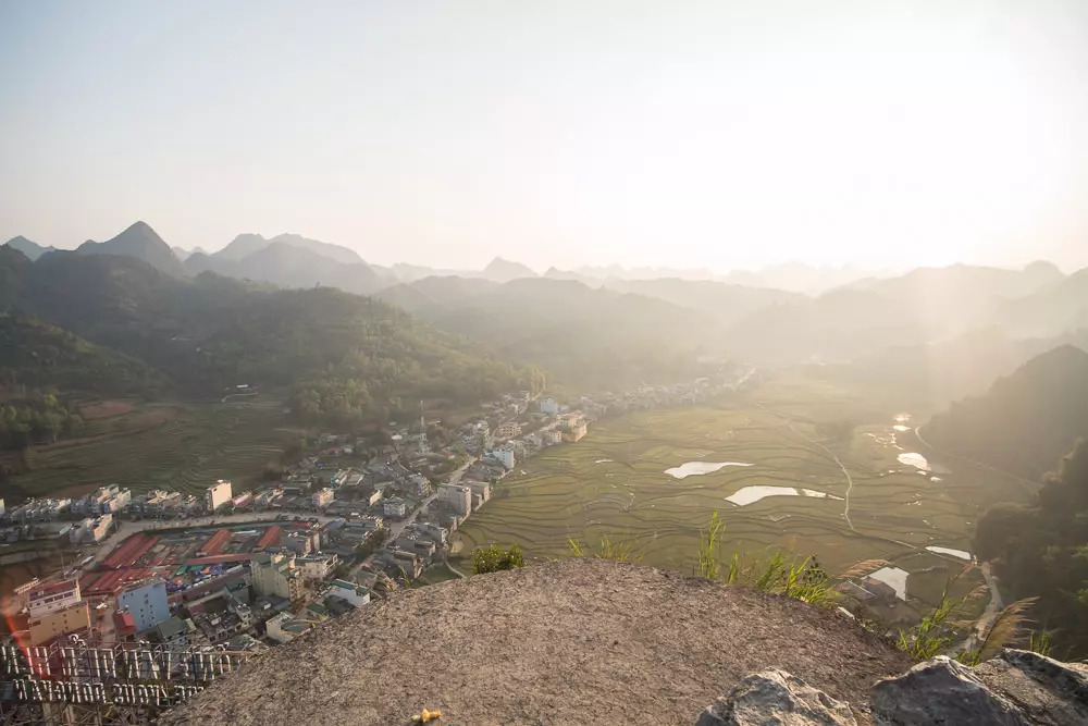
On Day 1, the weather did have me rather worried. It was pouring down in Ha Giang City and the forecasts looked awful. When the rain finally stopped I got on my bike, making a quick stop first at the Cafe Núi Cam viewpoint overlooking the city.
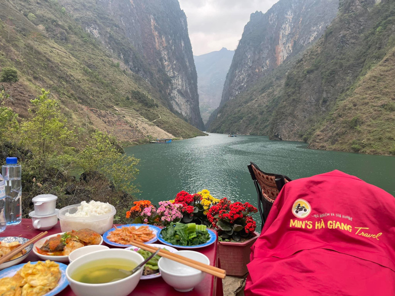
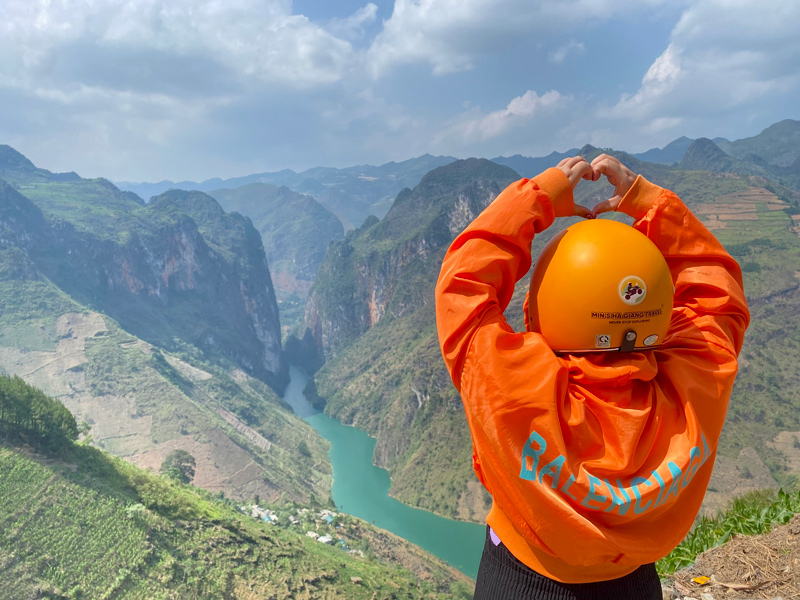
I got in a couple of hours of driving on my first day, stopping in the town of Tam Son. I was crossing my fingers that bad weather wouldn’t ruin my trip, but things would gladly work out just fine.
I hatched a plan that would put me on the Dong Van pass — known for the most spectacular views — on the day that would have clear skies.
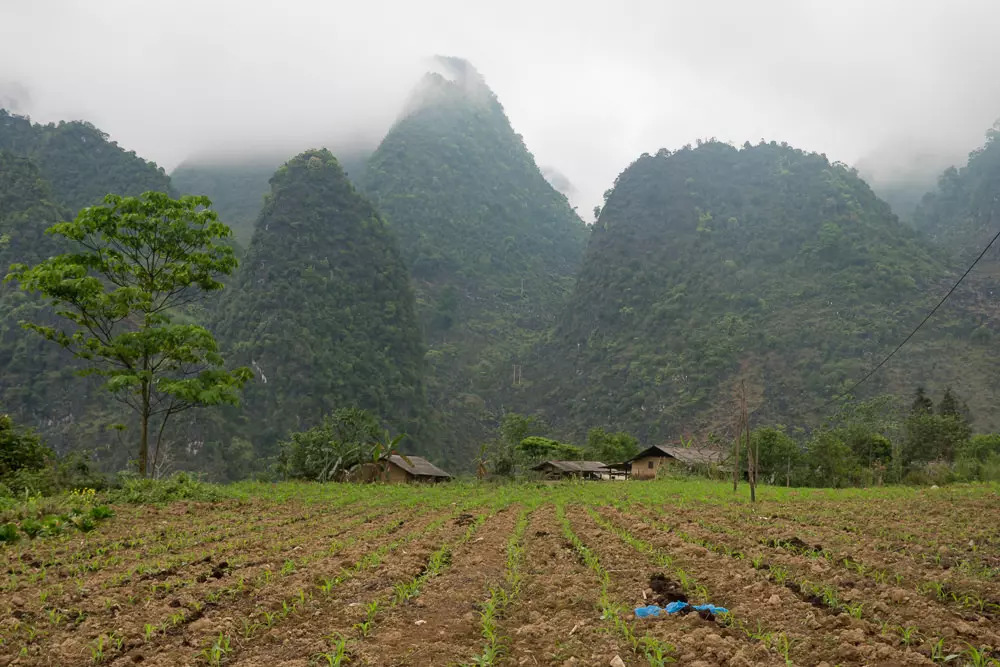
During my first days driving, the mist and clouds would occasionally spoil the views, but I have to say it also gave the scenery a mysterious air.
Doing the loop the wrong way
There is a more or less standard way to drive Ha Giang, which nearly all the organized tours follow. You’ll also find this route printed on flyers provided by hostels and bike rentals in Ha Giang City.
In a nutshell, the route goes like this: you drive in a clockwise manner, stop to sleep in Yen Minh, then sleep in Dong Van, and then go the same way back.
But you don’t have to do it this way!
I ignored this standard route entirely and I think my trip may have been better for it. I spent 5 days instead of 3 and went counter-clockwise, which put me out of sync with all the groups. It was nice doing things at my own pace, stopping wherever seemed interesting.
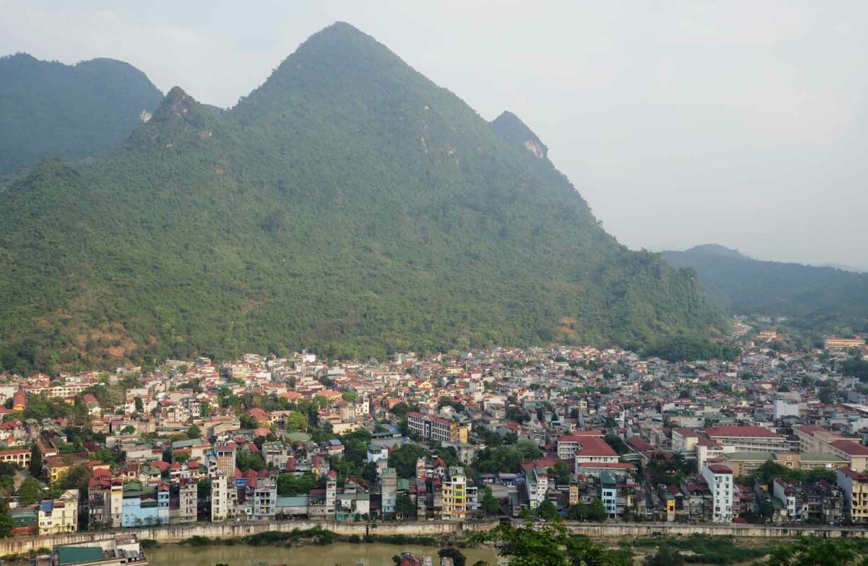
Most riders only stop briefly in the town of Tam Son (Quan Ba) for lunch, but I decided to stay there for the night. This was initially just to wait out some bad weather, but I was glad it forced me to spend some additional time here.
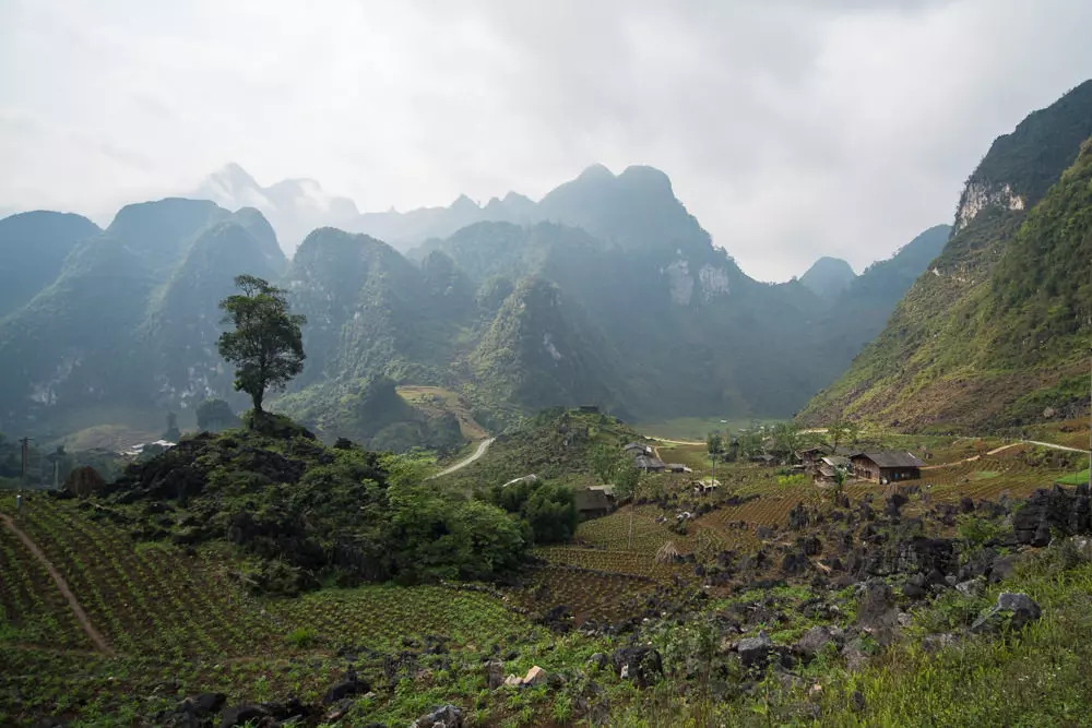
The views of the surrounding valley in Quan Ba were magnificent. I drove around to see it from every angle, then went to a nearby ethnic village. It was beautifully tucked between several pokey karst hills, simply looking stunning. From there I hiked to the beautiful Lung Khuy Cave, which I had all to myself to explore.
Back at Tam Son, there was a lively atmosphere as a party was taking place with traditional Vietnamese music blasting from the school’s speakers. I felt very happily immersed in the travel experience, a feeling that would persist for the entire Ha Giang loop.
Driving conditions
Some have called the route “extreme”, but I think this is based on a bit of a misunderstanding.
The Ha Giang Loop is called the “Extreme Northern Route” in at least one guide, obviously so because it touches the extreme northern tip of Vietnam. That doesn’t mean it is literally extreme, so when backpackers brag about ‘doing the extreme one’ it’s a bit mistaken.
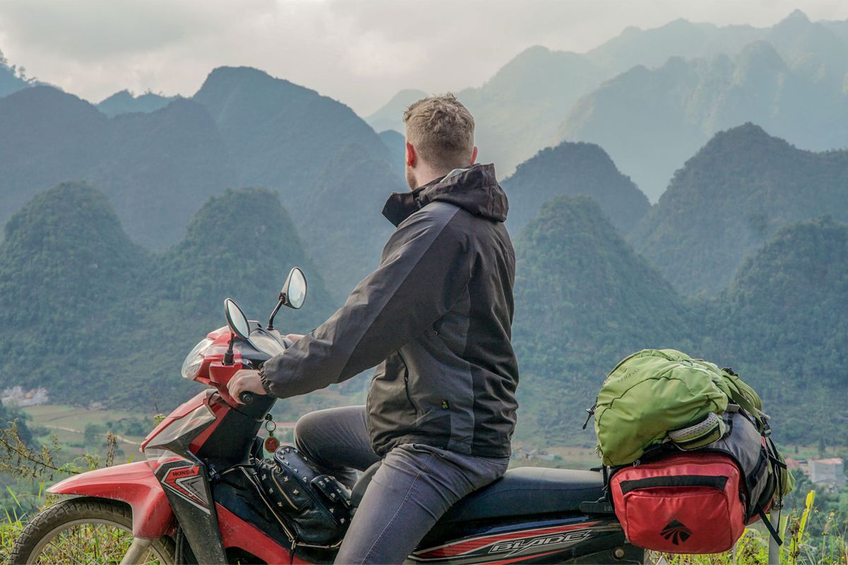
Still, after reading many warnings about the road conditions, I must say I was a tad concerned. I went in with a bit more preparation than other motorbike trips I’ve done in Asia.
Honestly, I expected the roads in Ha Giang to be worse. As someone who drives a scooter occasionally, the conditions seemed mostly fine, though some parts admittedly aren’t suited to beginners. Some roads do have very tight curves, while others are narrow or lack any guardrails. Some roads could clearly be dangerous in bad weather.
So, if you have little or no driving experience, find easily yourself wobbling a lot on a scooter, or if you’re the reckless type, then the Ha Giang Loop isn’t for you. If you can handle a bike fairly well and you’re careful, then you’ll probably be fine.
Then again, I have also seen people eat serious shit on better roads in Asia, so always be careful and be sure to read all the safety advice beforehand. This includes driving slowly, knowing your limits, considering some protection for your knees and elbows, and taking special care with any cliff corners where cars may still be overtaking.
If you have any doubts, you can go on an easy rider tour instead, riding on the back with a local guide.
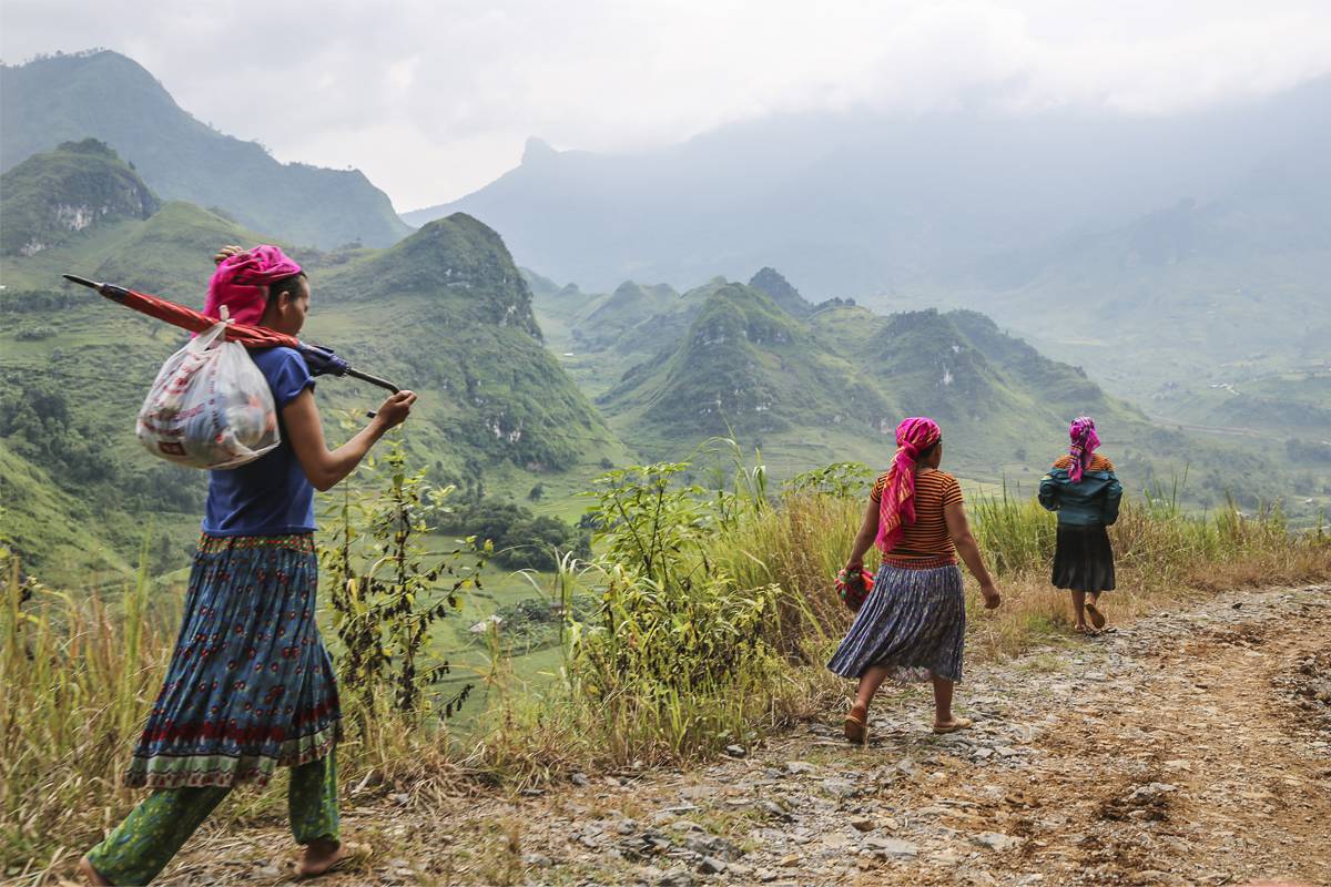
The main QL4C road seemed well-maintained, though the story is different for some of the smaller roads. On Day 2, as I went down the smaller DT181, I had to work around many more potholes and faced some twisty mountain passes without any guard railings.
I loved driving the secondary roads like DT181 and DT176. There are almost no trucks or cars on these narrower inner roads, putting you more in touch with your surroundings. It was also along here that local people were most eager to interact, with children waving at every town I passed.
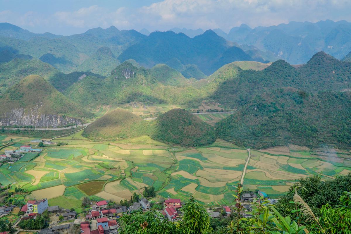
At one village I stopped for coffee and had a wonderful conversation through Google Translate, which surprisingly does a pretty good job of translating between English and Hmong. It was in fact the coffee seller who had gestured to my phone, logged it into his bamboo hut’s WiFi, and started talking to me through the app.
We passed messages back and forth this way for quite some time. “Look at all the beautiful chickens” is one thing he wrote that I still remember. The chickens were beautiful indeed.
The loop’s biggest highlights
On Day 3, I stayed put in the town of Du Gia, opting to poke around the area a bit instead of beelining straight for Dong Van. Du Gia is slightly off the main route, but worth the detour.
There are a dozen or so hostels and homestays in Du Gia, a town that’s beautifully situated in a valley with terraced rice fields. Some of the hostels in Du Gia organize 1-day treks around the area, which can give you a welcome change from just sitting on a scooter seat all day.
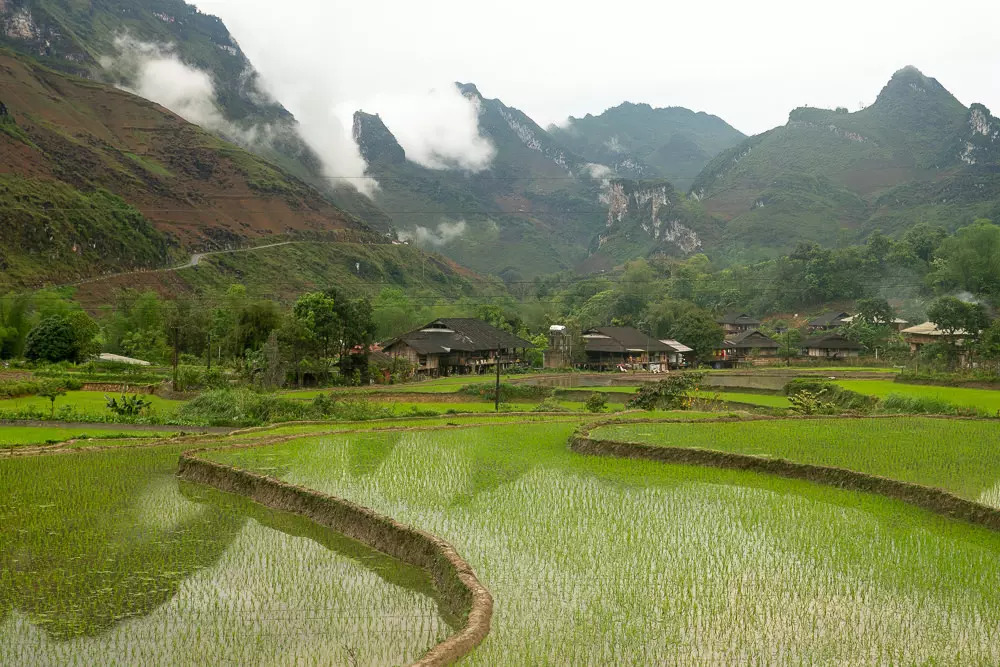
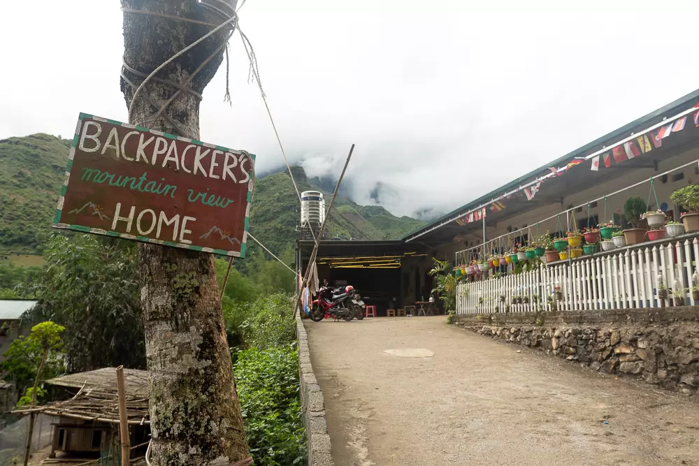
The rain was actually chundering down in Du Gia all morning, so I spent some time cozily chatting with other travelers by a campfire under a thatched roof. When things finally cleared up, I checked out a nearby waterfall and went to some of the indigenous villages around the area.
On Day 4, it was finally time to drive on to the Dong Van pass.
Let’s just say… it did not disappoint.
This truly vertigo-inducing road runs along a ravine that you barely can see the bottom of. At the top, you’re treated to epic panoramic views stretching as far as China.
In terms of scale and pure wow-factor, it’s easily the loop’s biggest highlight. I stopped practically every 5 minutes to take more photos and enjoy the views.
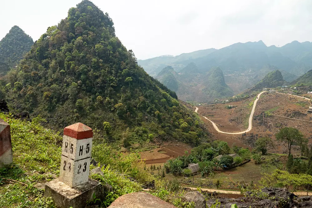
I went onwards to spend the night at the town of Dong Van, which seemed to be the most popular overnight stop along the route, having a high density of accommodation as well as a town square dedicated to tourist bars and cafes.
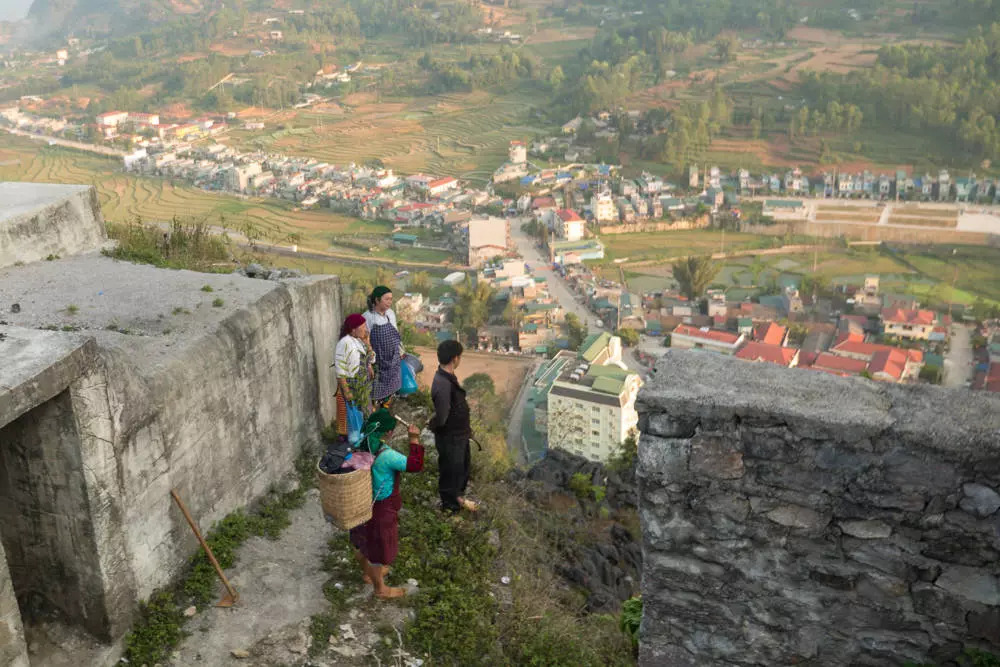
I took the brief hike up to the Don Cao viewing point [map]. There, I watched the sun go down as locals in traditional clothing foraged around the viewpoint for herbs and plants.
The final day’s ride back to Ha Giang City could perhaps have been a bit less interesting, as I had already seen the epic Dong Van pass. On Day 5, I nevertheless had a fantastic day on the road.
What struck me is how often the geography and fauna changed — especially in the northern sections of the Ha Giang Loop — ranging from dry and barren areas to lush tropical valleys and pine tree forests.
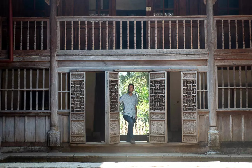
I stopped by the Hmong King’s Palace, a 100-year-old structure where the local leader once lived — and worthwhile cultural sight.
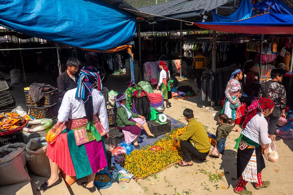
I was also lucky to catch the once-a-week regional market nearby, which brings out Hmong from all the mountain villages to sell and buy their goods. As everywhere along the Ha Giang loop, it was a delight to see all the colorfully dressed women — as well as men typically dressed in black worker’s uniforms.
Doing the loop justice
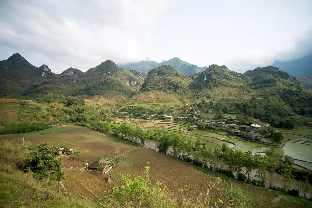
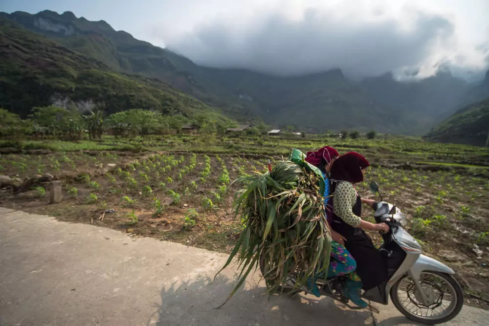
It’s hard to fully describe how happy I felt driving the Ha Giang Loop. It’s so much fun just to have the wind in your face and see the road ahead unfurling around every corner. But it’s harder still to convey how grand and beautiful the region is. Somehow, photos don’t look even half as good as the real thing.
It’s an incredible privilege to see Ha Giang while it’s still untouched by mass tourism. Although there are some organized groups driving the loop, the region does not feature in the standard Vietnam itineraries.
I’m certain that things will eventually change, as Ha Giang is simply too stunning not to turn into another commercialized tourist site one day. But it’s hopefully still a very long way from becoming another Sa Pa or Ha Long Bay.
At one point I did see a Chinese tourist van stop by the road, unloading at least twenty tourists who then besieged from all sides three unwary farmers in traditional clothing. The farmers seemed to take all the paparazzi shoving cameras in their faces in good spirit, but I do wonder if they’ll forever be so understanding.
While I usually dislike the ‘go before it changes’ cliché, I think it does apply in this case. If you want to do the Ha Giang Loop, I think now is a perfect time. It’s developed enough to be accessible, but not so developed as to be spoiled.
To get the full Ha Giang experience, try to spend as many days as you have. I met one backpacker attempting to do it all in 2 days, which seemed a little crazy. I would say that you really need at least 3 days. I was happy to have spent 5, and in hindsight I honestly could have easily done 7 (by driving slowly, adding all the optional side routes, or maybe even driving all the way to Cao Bang).
There are several different ways of doing the loop: independently, self-driving with a tour group, on the back with a hired rider, or even hiring a car with a driver.
To feel a complete sense of freedom, I do think it’s best to drive yourself. Consider the tours only if you’re not a confident rider or afraid to go alone. Otherwise, I believe Ha Giang is better experienced as an explorer than as a customer of a tour. Of course, if you end up lost or without fuel, these will be challenges you’ll also have to solve by yourself.
Luckily, navigating Ha Giang on your own is not too difficult. And if your tank is ever low, you can always find a villager somewhere willing to sell you at least a Coca-Cola bottle’s worth of fuel.
One thing that will help you a lot is to carefully study the exhaustive guide to Ha Giang on the blog Vietnam Coracle. While I’ve shared my personal experiences here, this amazing resource has much more detailed information, covering literally every road and every place to stay. It’s the most authoritative guide I’ve seen, so I will happily refer you to it.
All that’s left for me to say is that Ha Giang is the best thing I’ve done in Vietnam. While I didn’t want to headline this article with such a grand statement, as not to needlessly hype a precious place, I do feel Ha Giang is something special.
If you decide to do the Ha Giang loop, be sure to take your time. Try to soak it all in as there are few places quite like this. Good luck, be safe, and enjoy the ride.


 Vietnamese
